Trip Summary:
Start: Wondabyne Station End: Woy Woy Station
Total km: 15.4km
Road km: 7.2km (3.2km dirt, 4km asphalt)
River km: -
Links: wildwalks: http://bit.ly/2vLxSYW
The Hawkesbury region is a maze of tidal inlets, bushland and quaint little fishing communities scattered throughout an immense estuary. At its heart lies a little train station (Wondabyne), with the fun distinction that it is inaccessible by road - instead sporting a dock to service the families in the region who commute by boat. It is also one of the last train stations in Australia where you can (and need to) hail down passing trains, adding an allure of wild west. Toss in its proximity to walking trails and packrafting trips to quirky Hawkesbury islands and it is a great destination for a quick out and back from Sydney.
Wondabyne Station - complete with dock!
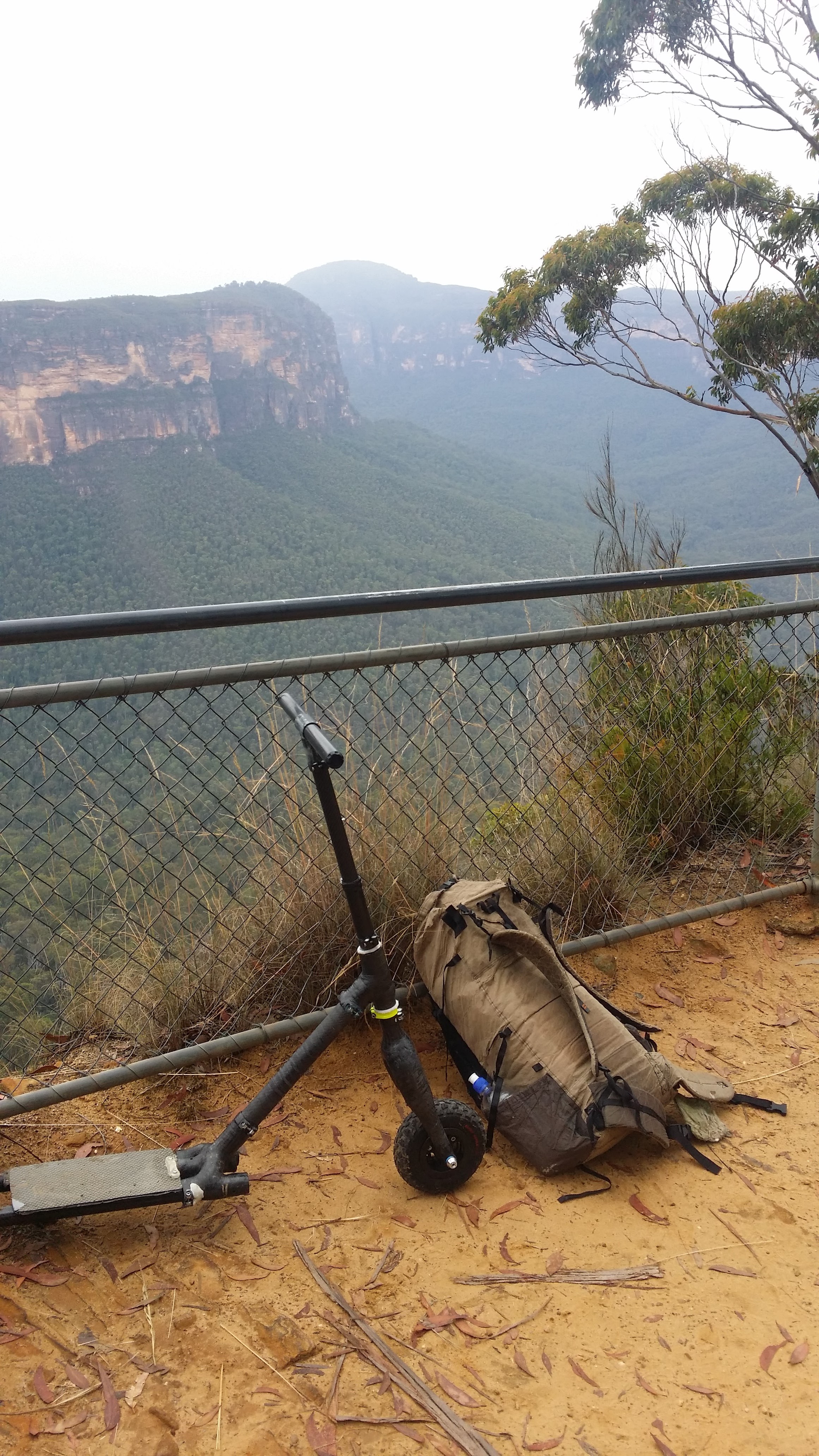
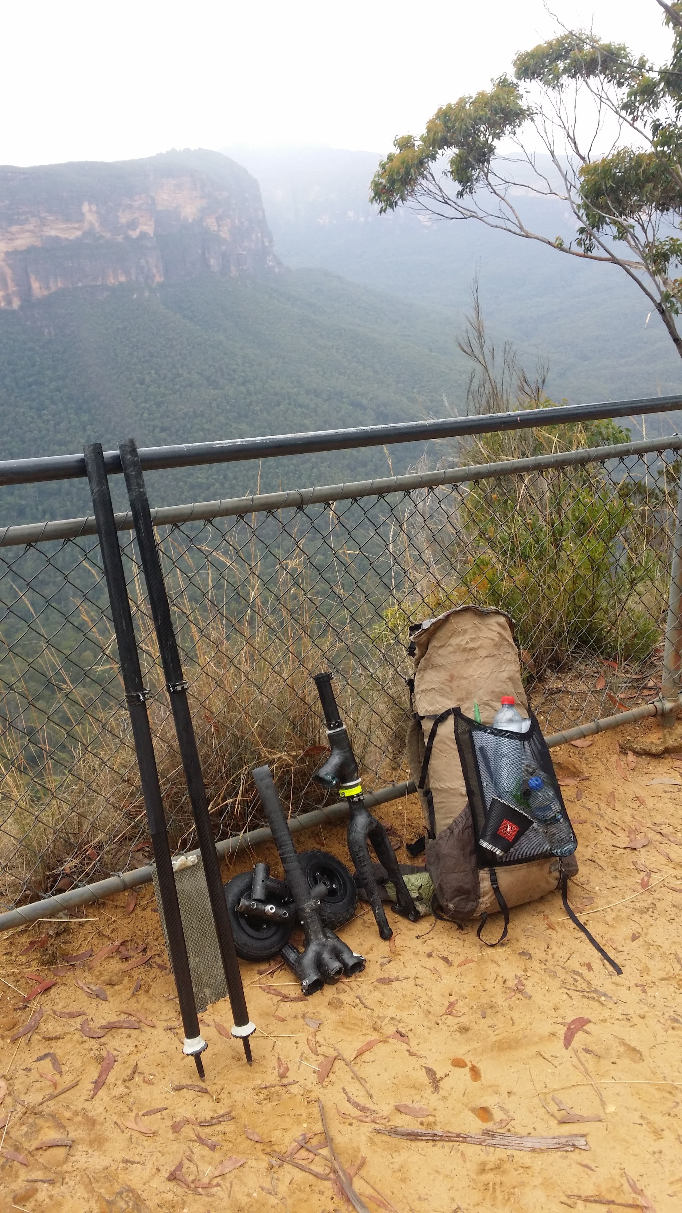
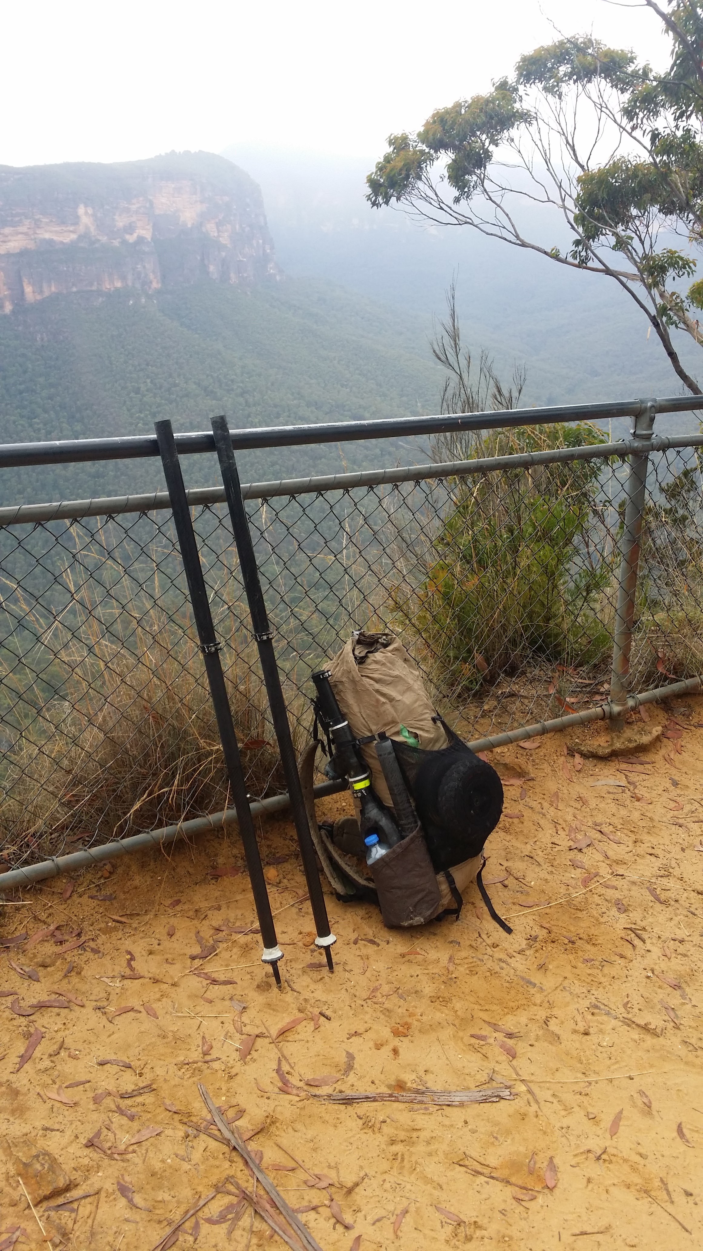
From the station, the dock makes a great spot for a quick dip before heading up a steep little track which leads through a lovely casuarina and gum forest. From here the track opens out at a makeshift camp site and the start of Rifle Range Firetrail. With my scooter in only two parts, I clicked it together, attached my bag and wheeled and scooted it (only a couple of flat or downhill sections) the 1.6km to the start of the Hawkesbury track. With a short and fairly easy walk ahead (6km), I put the scooter down only partially (to save time setting it back up) and made my way into a wildflower wonderland.
Track head of the Hawkesbury Track - part of the Great North Walk
Fabulous Fabaceae
Popping in pink
The heathland in Sydney’s sandstone regions come alive and pop with colour every August as a huge range of wildflowers compete for the attention of pollinators. As I wandered along the rocky path, a range of peas (Fabaceae), epacrids (Ericaceae), wattles (Acacia), gums and tea trees (Myrtaceae) all glowed in the afternoon sun. Dropping suddenly this vegetation gave way to dark lush rainforest species as we entered the lovely cascading Cariong Brook Falls, a great place for a rest and a swim in warmer weather.
Kariong Brook Falls for a rest
Water bottles filled, it was now time for the final push to Mt Wondabyne. Although Mt Wondabyne isn’t high by almost any standard (251m), it offers a uninterrupted 360 degree views of Brisbane Waters National Park and is close enough to the coast to offer a good glimpse of the sparkling South Pacific Ocean. It also sports a quaint little cave near the top of the climb, which served as an excellent camp spot for the night.
Setting in to camp
With clear skies all around, I decided to cowboy (or caveboy?) camp which treated me to glimpses of the milky way through the familiar silhouette of eucalypt trees. This was my first night camping in Australia since coming back from the TitterPlatt Traverse and unlike NZ in July, I awoke warm and cheery, enjoying a cloudy sunrise while gorging on a horde of Whittaker’s chocolate (the best of Kiwi sweet treats). Fat and happy, I now descended to the base of Mt Wondabyne, to the start of the Mt Wondabyne Trig Firetrail.
Views from my abode
Sights of Mt Wondabyne
On my last visit to this area, I was without scooter and dreamt of one day returning to victoriously roll my way back into town from its most prominent peak. Now with wheels, I put the scooter together, attached my bag and started my way down the rocky track. After a short stint of scooting, I hit the Tunnel Firetrail, where I followed it downhill for more fun. From here the road took me past some scenic ponds and a couple of friendly mountainbikers and then out onto Woy Woy rd. “Woy Woy rd !?” Damn. I was in the wrong place.
Pretty blunders
Woy Woy rd is a major artery of the central coast and at 9 am on a Monday morning it was buzzing with cars and trucks and certainly wasn’t very conducive to a relaxing scoot. Pouring over the maps I checked to see where I had gone wrong and quickly found that following the Tunnel Firetrail downhill, while immediately satisfying meant that I would have to go all the way back (6km round trip) to get me where I needed to be. While there was some good scooting on the way back, I was certainly happy to see Dillons Firetrail, signalling the start of the 160m gravel descent I had long been dreaming about.
Cracking along down Dillons Firetrail
It was everything I had hoped for and more. The sun was out, the flowers were out, the terrain was excellent and some great little tracks had been worn in by previous mountain biking parties, making for a truly exhilarating rush that had me grinning from ear to ear. Pulling into the council tip, I had travelled 2km of gravel road in under 9 minutes, possibly a personal best. The next 4km of sealed road into town was even faster, helped largely by a 70m elevation loss. Whizzing along, I knocked over this stretch in about 16 minutes, bringing an end to a cracking trip and a very warm welcome back to Australian adventuring.


